
About MeGet in Touch

Restoration platform

Bumiterra — Restoration Map and Impact Platform

An interactive platform that brings Bumiterra’s restoration work into one place—from satellite monitoring and sponsor reporting to the B2C payment experience for Bumiterra Collective.

Year2024–present
ScopeUX design, Development, Geospatial interface, Impact reporting, B2C payments

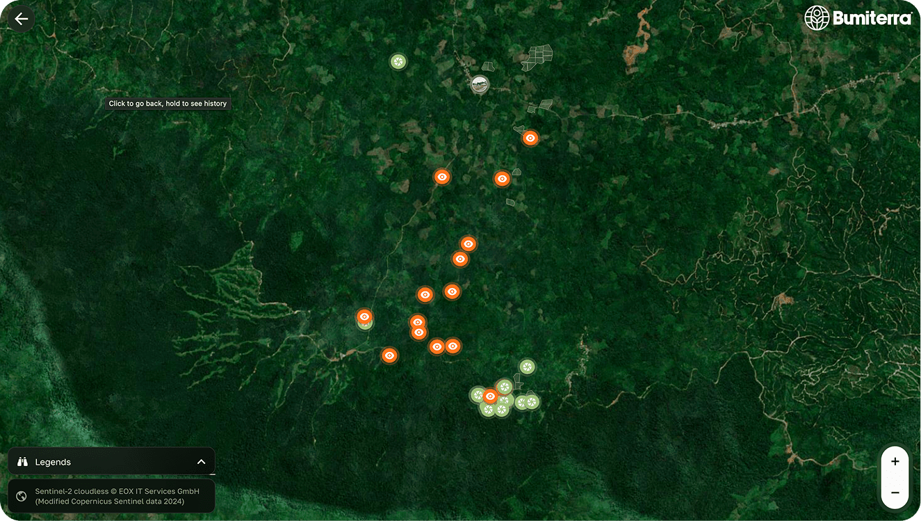
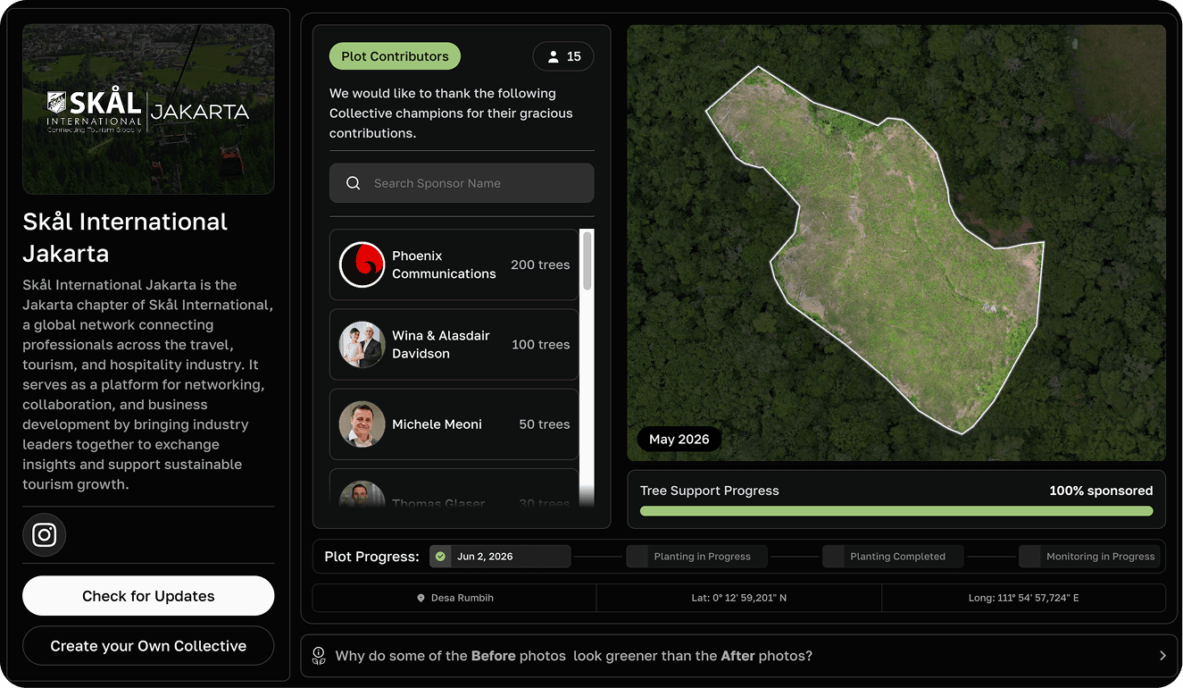
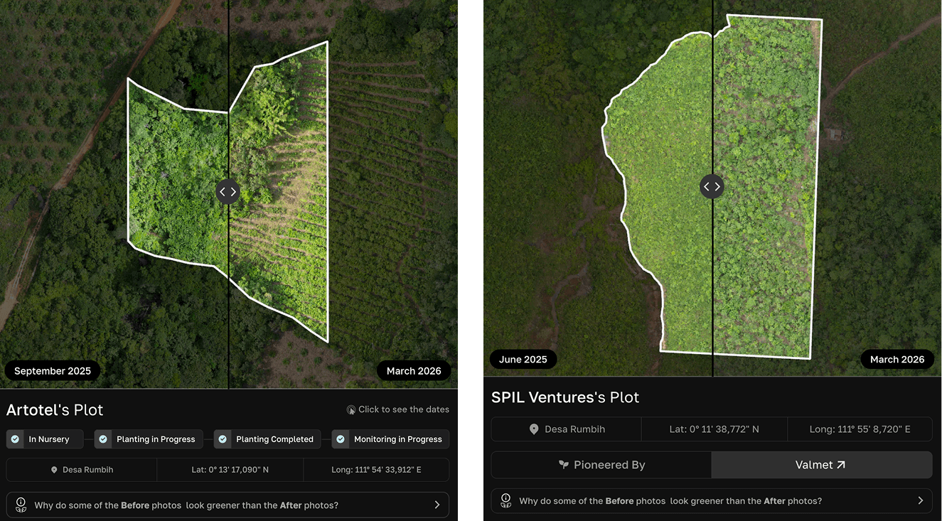
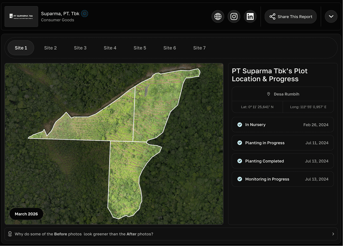
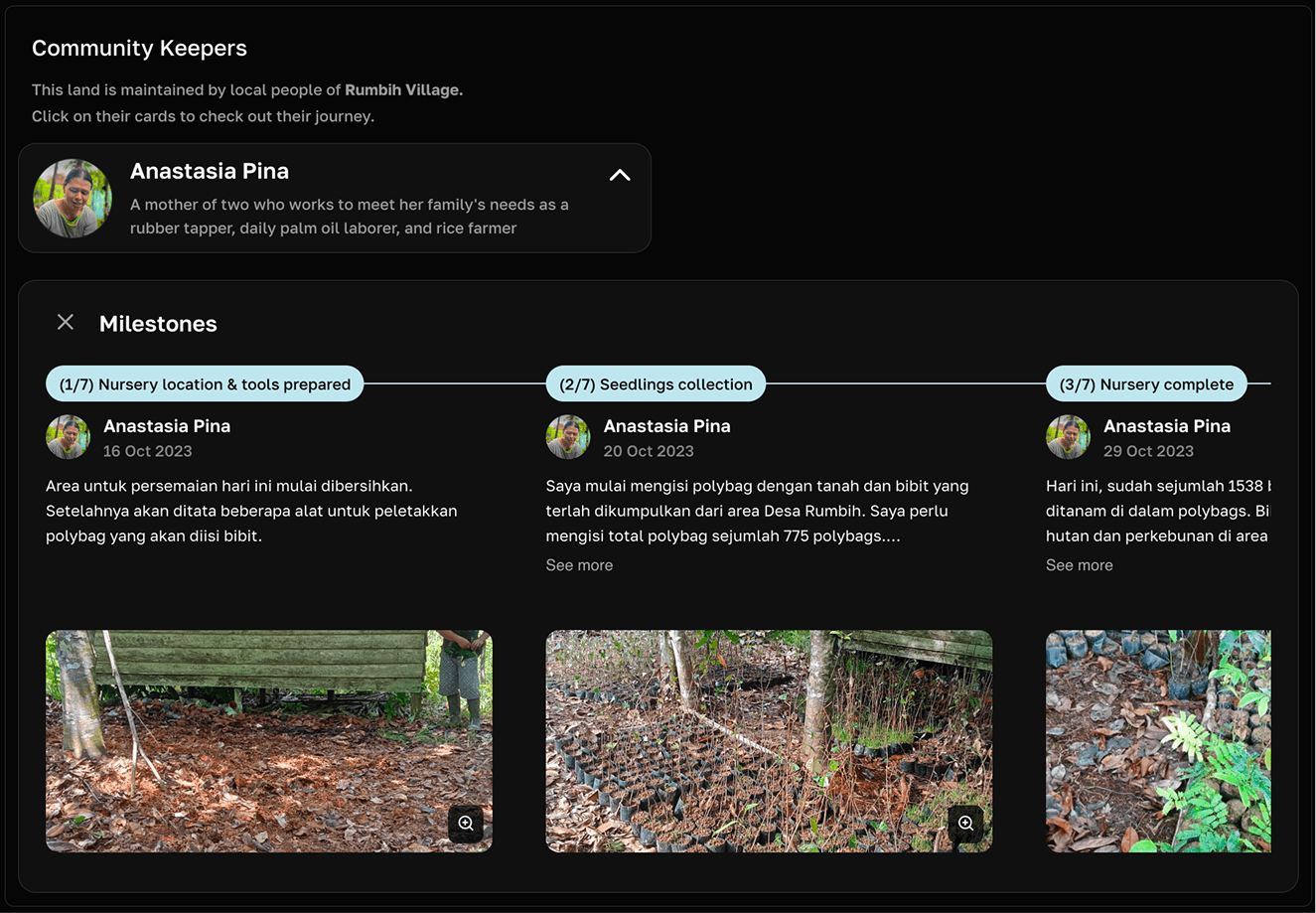
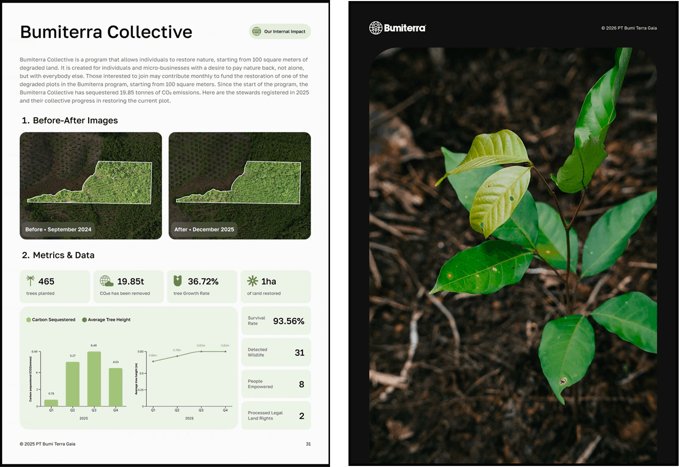
The map gives each restoration plot a clear record: its location and boundaries, planting status, dated before-and-after imagery, and monitoring progress. Sponsors can move from a regional view into the exact land their contribution supports and see how it changes over time.

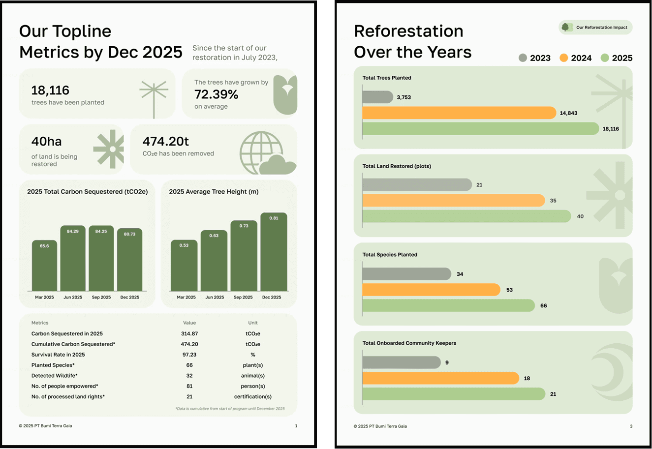
The platform connects corporate sponsors with local community keepers, then turns field data into shareable impact reports covering trees planted, land restored, carbon removed, survival rates, biodiversity, and livelihoods.

The scope also includes the B2C payment system for Bumiterra Collective, allowing individuals and micro-businesses to directly fund the restoration of degraded land and follow the collective impact of their contribution.

Bumiterra satellite map showing restoration plots across West Kalimantan

Showing image 01 / 08